
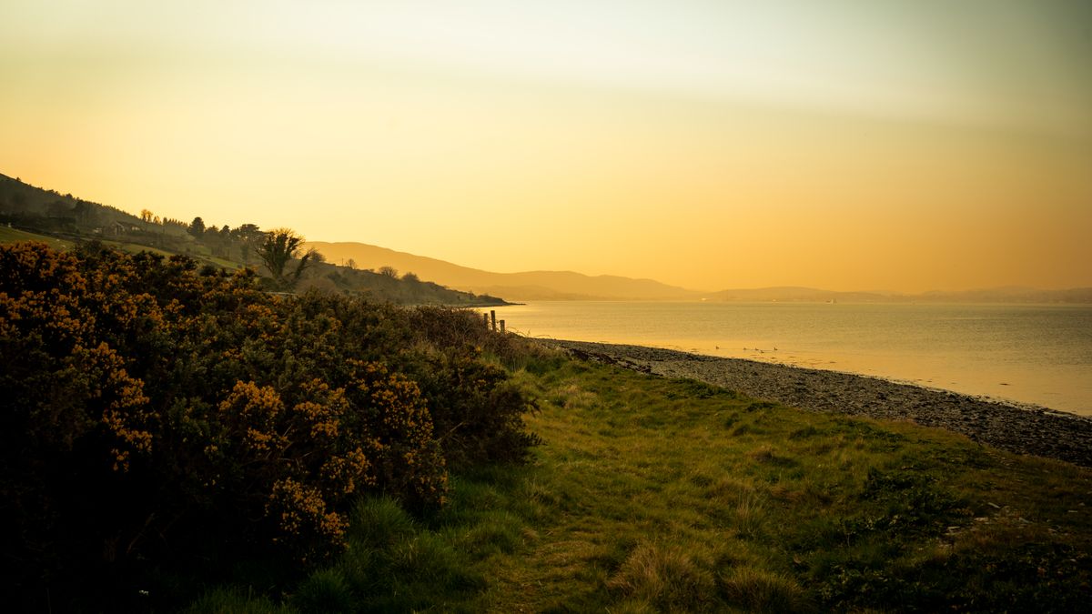
Sea fog — the fret that creeps onto North Yorkshire and Northumberland, the haar that swallows Aberdeen and the East Neuk — forms when warm, moist air drifts over a cold sea. It does not arrive like a rain cloud. It arrives as a wall. Visibility can drop from ten miles to thirty metres in the time it takes to eat a sandwich, and it almost always comes in from the sea, which means it can erase the path ahead, the path behind and the view inland at the same moment.
That matters because coastal walking relies on a very particular kind of confidence. You can hear the waves, you know the sea is to your left, and the path will surely keep going. In fog, that confidence becomes a liability. The one thing you must never do is navigate a clifftop by feel.
Good fog navigation is decided long before the fog shows up. Stand in the car park and do four things.
Tell someone your route and your expected return time. It costs a minute and it is the single most useful safety measure available to you.
A baseplate compass and a map are enough. Start by orienting the map: place the compass on the map, align the compass housing's north arrow with the grid lines on the map, then turn the whole map until the magnetic needle sits inside the orienting arrow. Now the map matches the ground, and the sea on the paper is the sea beside you.
To walk a bearing, point the direction-of-travel arrow at your target on the map, rotate the housing until the orienting lines line up with the grid, then hold the compass flat and turn your body until the needle sits in the arrow. Walk that direction. Check the needle every couple of minutes — it is astonishing how quickly a walker drifts, especially on a path that curves.
Magnetic variation across the UK is small at the moment, but check the figure printed in the map margin and apply it. A few degrees over a kilometre of clifftop is a meaningful error.
In fog you rarely have a visible target. You have a distance. Count double paces over a known stretch — most adults cover roughly 1.5 metres per double pace, so about 660 on flat, firm ground for a kilometre. On coastal grass, tussocks and mud, expect far fewer and a much slower pace. Time it too: allow twelve to fifteen minutes per kilometre on easy going, twenty or more on rough clifftop turf.
Combine the two. If you have walked for eighteen minutes and counted 500 double paces, you have a decent idea of where you are — and more importantly, you know when you have gone too far.
Fog breaks groups. Someone strides ahead, someone stops to adjust a boot, and suddenly the party is strung out over 200 metres with no line of sight.
A handrail is a linear feature you can follow confidently — a wall, a fence line, a stream, a hedgerow, a well-made path with a solid inland edge. In fog, handrails are how you make progress. Use them.
What you must not use as a handrail is the cliff edge itself. Erosion means the ground beneath the grass is often undercut, and in fog you cannot see the crack, the overhang or the crumbling lip. Keep well back, use the inland side of the path, and if the path narrows to a crumbling ledge, stop. That section is not worth walking today.
Set a turn-back time before you set off, and honour it. If the fog is thickening, if you have missed a feature you expected, if the group is cold, tired or uneasy, turn around. A coastal walk abandoned at half distance in poor visibility is a good day out. The same walk pressed on with is how incidents begin.
The sea fret will lift. It usually does. Walk within your skills, keep the map in your hand, keep your people in sight, and you will be back at the car park swapping stories about the day the coast disappeared.

Hi, my name is Anthony kuber. I am artist and fashion designer.
I love to travel and writing blogging.
Your email address will not be published. Required fields are marked *
Software Developer & Writer
Hey, I'm Diva, a developer and writer blending code and creativity. I'm driven by a deep curiosity and a relentless pursuit of excellence. Join me as I craft digital solutions and captivating stories.


