
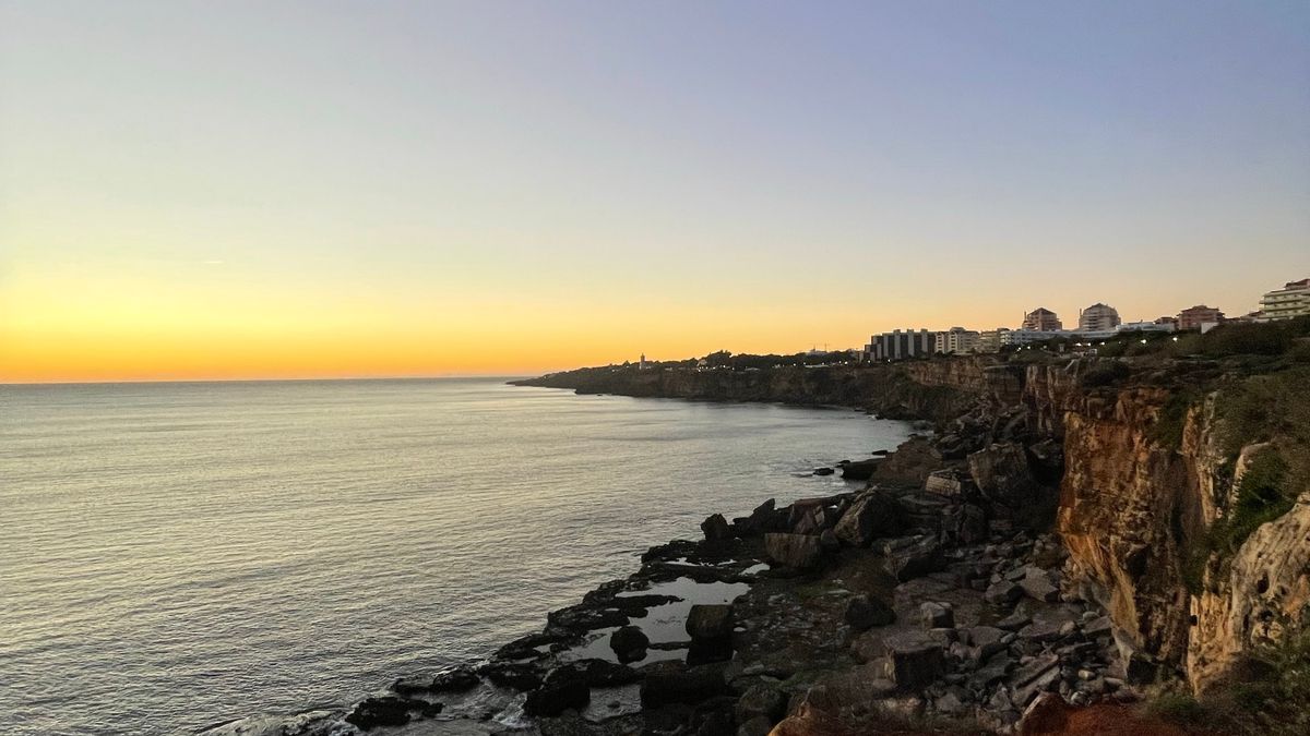
Coastal walking is some of the best walking Britain has to offer, and a circular route is the most satisfying way to do it: out along the cliff tops, back along the shore, ending where you left the car. But the coast is a restless neighbour. Cliffs erode, paths slip, estuaries fill and empty twice a day, and the shortcut you can see on the map is often a mile-wide inlet with no bridge. Inland, if a path is blocked you can usually reroute across a field. On the coast, you often cannot.
That is why a circular coastal walk deserves twenty minutes of planning before you pull your boots on. None of it is complicated, and most of it is enjoyable — reading a tide table, tracing a headland on a map, working out where you will stop for lunch. Here is how to do it properly.
Tides are the single biggest factor in coastal safety, and the one people most often get wrong. Tide times vary around the coast: a high water at one harbour may be an hour or more different from the next bay along. Always use the predictions for the nearest standard port, then adjust for local quirks. Tidal range around much of the UK runs to four or five metres, which means a wide expanse of sand can become deep water surprisingly fast. Tides are also not symmetrical — the flood can move across flat sand at walking pace or faster, and it approaches from behind you as often as in front.
A 1:25,000 scale map is the right tool for coastal paths, where the difference between a path and a crumbling edge can be a few metres. Phone mapping is useful as a backup, but batteries die, screens are unreadable in bright sun, and signal vanishes in coves and under cliffs. Paper does not.
"I'm going for a walk" is not a plan. Leave a route card with someone reliable: where you are starting, the car park or street name, your intended route in outline, and the time you expect to be back. Then agree what happens if you are not.
Coastal paths are slow. Allow around three kilometres an hour, not four, and add time for ascent — a minute for every ten metres of climb is a reasonable rule — plus stiles, gates, mud and photographs. A route that looks like four hours on paper often takes five.
Take a windproof and waterproof layer even on a warm forecast, because headlands are exposed and sea breezes arrive without warning. Sturdy boots with real grip are essential on wet rock, clay and steep grass. Add water, food, a headtorch, a whistle, a basic first aid kit, sun cream and a charged power bank. A small sit mat makes a clifftop lunch far more pleasant.
Stay well back from cliff edges, especially where the grass looks undercut or cracked. Erosion is constant and the edge you stood on last year may not be there now. Do not climb fences or take shortcuts down to a beach unless there is a marked path. Keep dogs on a lead near livestock and near edges, and always close gates behind you.
Set a turnaround time before you set off and honour it. If the weather closes in, if the path is worse than expected, or if the tide is earlier than you thought, turning back is the right decision, not a failure. If you do get caught out — cut off by the tide, lost in fog, or someone injured — dial 999 and ask for the coastguard. Give a grid reference if you have one, and stay put somewhere safe and visible. Never enter the water to help a person or a dog in trouble; call for help and let trained rescuers do it. Plan well, and the coast will give you some of the finest days of walking you will ever have.

Hi, my name is Anthony kuber. I am artist and fashion designer.
I love to travel and writing blogging.
Your email address will not be published. Required fields are marked *
Software Developer & Writer
Hey, I'm Diva, a developer and writer blending code and creativity. I'm driven by a deep curiosity and a relentless pursuit of excellence. Join me as I craft digital solutions and captivating stories.


