
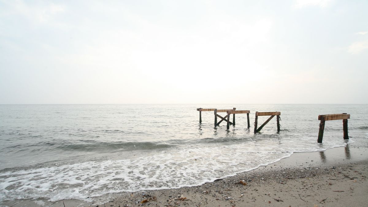
Walk almost any stretch of Britain's more remote coastline and you are tracing ground that was chosen for one reason above all others: it could not easily be watched. The classic smuggling coast is rarely the dramatic, photogenic bay with a car park and an ice cream van. It is the awkward place — a steep, wooded combe dropping to a strip of shingle, a gap between two headlands that hides a boat until it is almost ashore, a beach that only becomes passable at a certain state of the tide.
Geography did most of the work. A narrow valley funnelled goods inland along a route that could be blocked by two men. High cliffs cut sightlines from the nearest cliff-top path. Offshore reefs kept revenue cutters at a cautious distance while a shallow-draught lugger slipped inside them. And a village reached by a single winding lane was far easier to control — and to warn — than a proper port with a dozen approach roads and a resident customs officer who knew everyone's business.
Look at a map of Cornwall, Pembrokeshire, the Kent and Sussex marsh edge, the Fylde coast or the sea lochs of the west Highlands and you will notice the same pattern: settlements tucked into folds in the land, with a farm track rather than a road leading down to the water.
For households on the edge of the map, the arithmetic was brutally simple. A season of fishing might keep a family fed and little else. One successful run of tea, brandy, tobacco or Geneva gin could pay the rent, mend the boat and see a family through the winter. Import duties in the eighteenth and early nineteenth centuries were punishingly high, which meant smuggled goods were not a luxury sideline but a parallel economy.
The vocabulary of the trade survives in the landscape and in local speech. You may still hear older terms in pub names, museum labels and guidebooks:
Very little of the trade was built to last, because permanence attracts attention. What remains tends to be domestic, agricultural or defensive, quietly adapted for a second purpose. On a good walk you can often spot several of these:
Treat reputed tunnels with polite scepticism. Many are really drains, mine adits or sea caves, and the stories attached to them grow with every retelling. The reliable evidence is in the fabric of buildings and in parish records, not in folklore alone.
Old inns are the most rewarding places to look, and the easiest to visit. A coaching inn on a remote lane might sit oddly far from any main road, with a stable block out of proportion to the village. Its taproom may have a hatch, a trapdoor or a flagged passage running towards the back of the building — practical features for moving casks quietly and quickly. Many such pubs now display their history with admirable honesty, and a pint by a fire in a low-beamed room is as good a way as any to understand how this trade knitted communities together and set neighbour against neighbour.
Church towers matter too. A tower with a clear view of the sea, sited a little away from the main cluster of houses, was a natural signalling point. Bells, lanterns and fires carried messages along a coast far faster than any officer on horseback could ride, which is one reason the preventive service struggled so long against well-organised local networks.
You do not need a guided tour. Pick a stretch of coast with a genuine heritage trail — many Areas of Outstanding Natural Beauty and National Landscape partnerships publish short circular routes that link a cove, a church and an inn — and read the interpretation panels properly. They are usually researched by local historians and will tell you which buildings are genuine and which stories are tradition.
A sensible day works like this: start at the church or the highest point for the view, walk down to the landing place, follow the old lane inland to the farm or inn that received the goods, then return along the cliff path. That is the route the cargo took, and walking it in that order makes the whole business suddenly legible. Carry a paper map, check tide times before you set off, and tell someone where you are going, because phone signal on these coasts is often non-existent.
These are living landscapes, not museum exhibits. Cliff paths erode, mud on intertidal ground is deeper than it looks, and several reputed landing places sit on private land or beside working farms. Follow the Countryside Code, keep dogs under control near livestock, and never enter a ruin, cave or tunnel that looks unstable — many are exactly as fragile as they appear.
Take only photographs, and leave the stones of a tumbled wall exactly where they lie. The quiet that made these coves useful two centuries ago is the same quiet that makes them worth walking today, and it is a good deal easier to keep than it was to keep a cargo hidden.

Hi, my name is Anthony kuber. I am artist and fashion designer.
I love to travel and writing blogging.
Your email address will not be published. Required fields are marked *
Software Developer & Writer
Hey, I'm Diva, a developer and writer blending code and creativity. I'm driven by a deep curiosity and a relentless pursuit of excellence. Join me as I craft digital solutions and captivating stories.


